
Ottawa, Canada3 min read
Rideau Canal Ottawa: Locks, Waterways and the Winter Skateway
Rideau Canal on Google Maps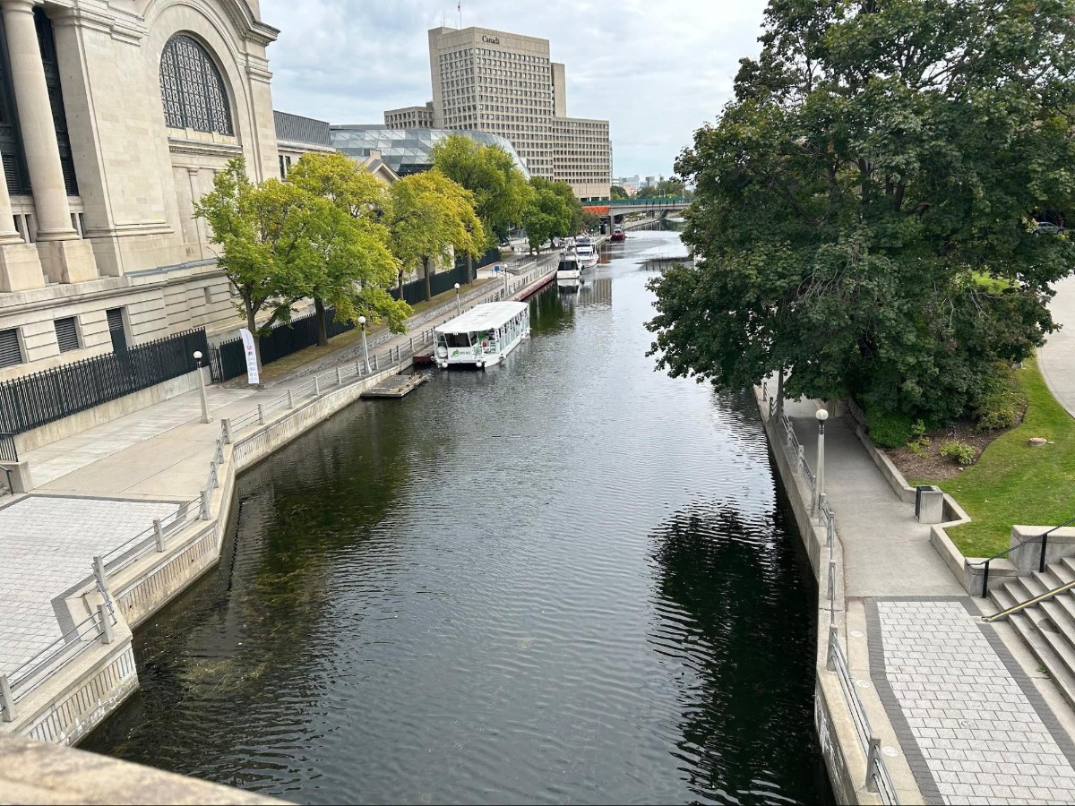
The Rideau Canal Ottawa is a 202-kilometre water route linking the Ottawa River at Ottawa with the Cataraqui River and Lake Ontario at Kingston, Ontario. Opened in 1832, it is a UNESCO World Heritage Site whose route combines engineered locks and canals with natural lakes and rivers.
The canal is not one continuous artificial channel. About 19 kilometres consist of human-made locks and canals, while the rest follows natural waterways. That combination gives the Rideau Canal its distinctive character: it is both a major piece of nineteenth-century engineering and a connected route through the existing landscape.
What is the Rideau Canal Ottawa?
The Rideau Canal is the water route that connects Ottawa to Kingston, providing an alternative to the St. Lawrence River. Its northern end meets the Ottawa River in Ottawa; its southern route reaches the Cataraqui River and Lake Ontario at Kingston.
The canal opened in 1832 and remains significant for its heritage as well as its physical structure. The route includes 19 kilometres of constructed locks and canals, but most of its 202 kilometres run through natural lakes and rivers. That distinction is central to understanding the canal as a place: the locks make the connection possible, while the waterways between them form most of the route.
How does the Rideau Canal connect Ottawa and Kingston?
The Rideau Canal connects Ottawa and Kingston through 46 locks and a sequence of linked waterways. From the Ottawa River, the locks raise boats 83 metres upstream along the Rideau River to the Rideau Lakes.
From the Rideau Lakes, the route changes direction in elevation: it drops 50 metres downstream along the Cataraqui River to Kingston and Lake Ontario. The connected geography is therefore the Ottawa River, Rideau River, Rideau Lakes, Cataraqui River and Lake Ontario, joined by both natural passages and built infrastructure.
These elevation changes explain why the locks matter. They are not isolated features beside the canal; together, they move boats between waterways that sit at different levels and make the full route between Ottawa and Kingston possible.
What is the Rideau Canal Skateway?
The Rideau Canal Skateway is the 7.8-kilometre Ottawa section that becomes the world's largest skating rink each winter. It is a seasonal transformation of part of the canal, not a description of the entire 202-kilometre water route.
The skating season typically runs from January to early March, although climate change has resulted in a much shorter season. The ice itself is part of the canal's winter identity: clear ice forms at lower temperatures and is stronger than white ice, which contains trapped air bubbles and impurities.
Snow removal is a major part of maintaining the skateway. For every 1 centimetre of snow, more than 125,000 kilograms of snow must be removed. The Ottawa route material compares that weight with 450 polar bears, an unusual measure of the work required to keep the skating surface usable.
What should you notice at the Rideau Canal in Ottawa?
Notice the contrast between the canal's permanent identity as a 202-kilometre route and the temporary winter transformation of its 7.8-kilometre Ottawa section. The same waterway can be understood through its locks and elevation changes, then through the science of its seasonal surface.
The distinction between clear ice and white ice, and the scale of snow removal, are details that connect the canal's engineering with its changing conditions. For a closer, self-guided exploration of these place-specific details, follow the Ottawa - The Wild Side tour. Its Rideau Canal material also invites you to look closely at how ice and snow shape this Ottawa landmark.
The tour that visits Rideau Canal
Each one is a self-guided route you can start whenever you like.

Ottawa · 1h 25m
Ottawa - The Wild Side
Discover Ottawa’s wild side! Spot iconic wildlife downtown, then head to Gatineau Park for outdoor adventures and animal sightings, explore fascinating exhibits at the Canadian Museum of Nature, or enjoy a drive-through safari at Parc Oméga—Canadian nature at its best!
- places
- Ottawa
- Rideau Canal
- Kingston
- Skateway
- UNESCO World Heritage Site