
Sep 24, 20267 min read
12 Best Apps for Urban Explorers to Use in 2026
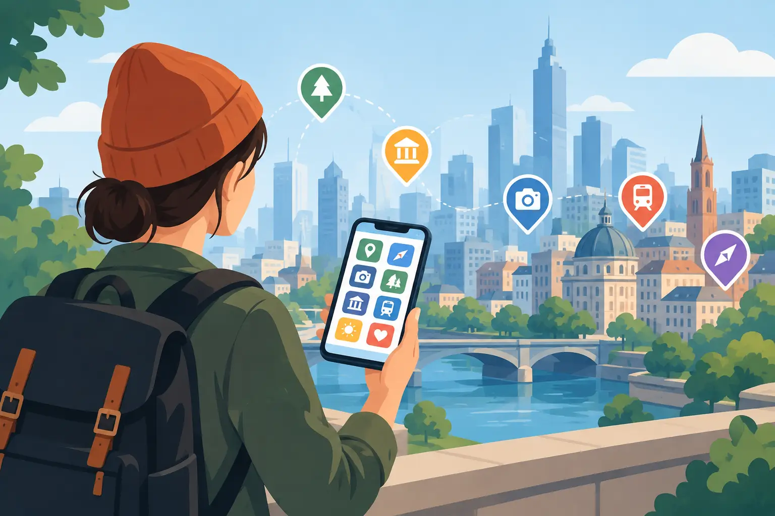
A great city day can start with one wrong turn: the mural behind a laundromat, the tiny food counter inside a market, the staircase that suddenly opens onto a skyline view. The best apps for urban explorers do not replace those moments. They make it easier to find them, understand them, and keep moving when the plan changes.
Your phone is more than a camera and a map. Used well, it becomes a pocket guide, transit control center, local-history decoder, and game board for the real world. The right mix depends on whether you are chasing architecture, street food, hidden stories, public art, or a totally unplanned afternoon.
What Makes an App Worth Bringing Into the City
Urban exploration is not about checking off landmarks as quickly as possible. It is about noticing what makes one block different from the next. That means the most useful apps have a clear job: getting you around, revealing context, pointing toward unusual places, or turning a route into an active experience.
Avoid building a phone screen between you and the city. Pick two or three core apps before you set out, download what you need, then look up. The goal is more real-world discovery, not more notifications.
Also, explore responsibly. Respect private property, posted rules, closing hours, and neighborhoods where residents are living their everyday lives. The best finds are rarely worth trespassing for.
12 Best Apps for Urban Explorers
1. Leplace for interactive city missions
Leplace turns a walk into a real-life exploration game. Rather than following a passive audio guide from point to point, you can discover place-based stories through GPS-driven challenges, treasure-hunt energy, and interactive self-guided routes.
It is a strong fit for travelers who want structure without joining a group tour, as well as friends who need a reason to keep exploring past the obvious downtown sights. For local creators and tourism partners, this format also turns knowledge of a neighborhood into a mobile experience people can play, share, and purchase.
2. Google Maps for the city’s operating system
Google Maps is still the practical foundation for most urban days. Save places into themed lists before your trip - coffee, bookstores, views, galleries, late-night food - then use those pins to build a route around whatever mood you are in.
Its biggest advantage is coverage. Transit directions, walking times, business hours, reviews, and offline map downloads make it useful almost everywhere. The trade-off is that popular results can push you toward the same highly reviewed places as everyone else. Use it for logistics, then leave room for instinct.
3. Citymapper for transit confidence
In cities where it is available, Citymapper is built for the messy reality of urban movement. It compares trains, buses, bikes, scooters, walking, and ride options, often with clearer step-by-step guidance than a general map app.
This is especially useful when you are trying to fit more discovery into limited time. A 25-minute walk can be the point of the day, but a 25-minute transit mistake can drain the momentum. Check service alerts before committing to a route, especially at night or on weekends.
4. Atlas Obscura for strange, specific places
Atlas Obscura is for the traveler who would rather see a hidden courtyard, an odd museum, a historic sign, or a forgotten piece of infrastructure than another generic “top 10” attraction. Its listings can spark entire detours around overlooked stories.
Not every listing will be close, current, or open when you arrive, so treat it as inspiration rather than a guaranteed itinerary. Pair it with a map app and verify access before crossing town. When it works, though, it can give a familiar city a completely different plotline.
5. Google Lens for reading the street
A building detail, poster, sculpture, menu, plant, or unfamiliar sign can become a starting point for discovery. Google Lens helps identify objects and translate text through your camera, making it surprisingly useful when you are wandering without a guide.
Its answers are not always perfect, particularly with art and historic architecture. Think of it as a fast clue generator. Use what you learn to ask better questions, search for a name, or decide whether that side street deserves another ten minutes.
6. Geocaching for a reason to take the long way
Geocaching adds a mission layer to public-space exploration. The app leads users to hidden containers or virtual locations, often in parks, waterfronts, public art areas, and corners of a city most visitors would pass without noticing.
It works best when you enjoy the hunt as much as the destination. Some finds are clever; some are underwhelming. Still, it is one of the simplest ways to turn a routine neighborhood walk into a small adventure with a concrete objective.
7. Eventbrite for temporary city energy
Cities change by the hour. A plaza that feels quiet at noon may host a night market, outdoor film, pop-up exhibit, walking tour, or maker event by sunset. Eventbrite is useful for finding that temporary layer of local life.
Search beyond major concerts. Look for keywords such as “open studio,” “night market,” “walking tour,” “architecture,” “gallery opening,” or the name of a neighborhood. Free events can fill quickly, and quality varies, but the app is excellent for escaping a rigid itinerary.
8. Too Good To Go for food with a surprise factor
Too Good To Go connects users with discounted surplus food from local bakeries, cafes, restaurants, and markets. For explorers, the appeal is not just price. A surprise bag can introduce you to independent businesses you would never have searched for.
The limitation is timing and choice. Pickup windows are fixed, and you may not know exactly what you are getting. That makes it better for flexible explorers than for people with dietary restrictions or a tightly timed museum schedule.
9. AllTrails for urban nature breaks
AllTrails is not only for mountain weekends. In many cities, it helps identify waterfront paths, greenways, park loops, and urban hikes that connect neighborhoods without putting you on the busiest streets.
Use it when the city pace starts to feel too intense. A trail can reveal a different relationship between downtown and its rivers, hills, industrial edges, or outer districts. Review route details carefully, since trail conditions, lighting, and access can change.
10. Meetup for finding people who share the mission
Solo exploration has its own magic, but some experiences are better with a crew. Meetup can surface photography walks, language exchanges, run clubs, board-game nights, creative meetups, and neighborhood groups that make it easier to meet a city through its people.
Choose events with clear details, active organizers, and a public meeting point. For travelers, it can be a better alternative to forcing conversation in a bar or booking a generic group activity.
11. iNaturalist for seeing life between the buildings
Urban explorers often focus on facades, storefronts, and street art. iNaturalist directs attention to the living city: birds in station plazas, plants breaking through pavement, insects in community gardens, and trees that have outlasted entire blocks.
It will not plan your route, but it changes the way you move through one. Open it in a park or along a canal and you may notice that a city is not just constructed space. It is an ecosystem with its own patterns and surprises.
12. Yelp for the local reality check
Yelp is still valuable when you need quick decisions about food, coffee, barbers, bookstores, and services nearby. Sort thoughtfully, read recent reviews, and scan photos rather than relying on a star rating alone.
The best use is confirmation, not inspiration. If you have already spotted a busy neighborhood spot that looks interesting, Yelp can help you check hours, price range, and whether it is actually worth the line.
Build Your Urban Explorer Stack
The strongest app combination is usually simple. Start with Google Maps or Citymapper for movement. Add one discovery tool such as Atlas Obscura, Geocaching, or an interactive city experience. Keep one flexible option for what happens next, whether that is Eventbrite, Too Good To Go, or Meetup.
Before leaving Wi-Fi, download offline maps, save your accommodation, and pin a few backup stops in different neighborhoods. Bring a portable charger, especially if you are using GPS, transit tracking, and a camera all day. If you are traveling internationally, confirm whether your data plan supports the way you plan to explore.
Let Curiosity Make the Final Call
Apps can show you the doorway, the route, the story, and the next clue. They cannot tell you which street feels worth following. When a city gives you an unexpected sound, smell, crowd, view, or question, put the phone down for a moment and follow that signal. The most memorable route is often the one you did not plan.
Enjoyed this post?
Comments
Be the first to comment.