
Oct 10, 20267 min read
How to Plan GPS Adventures That Play Like a Game
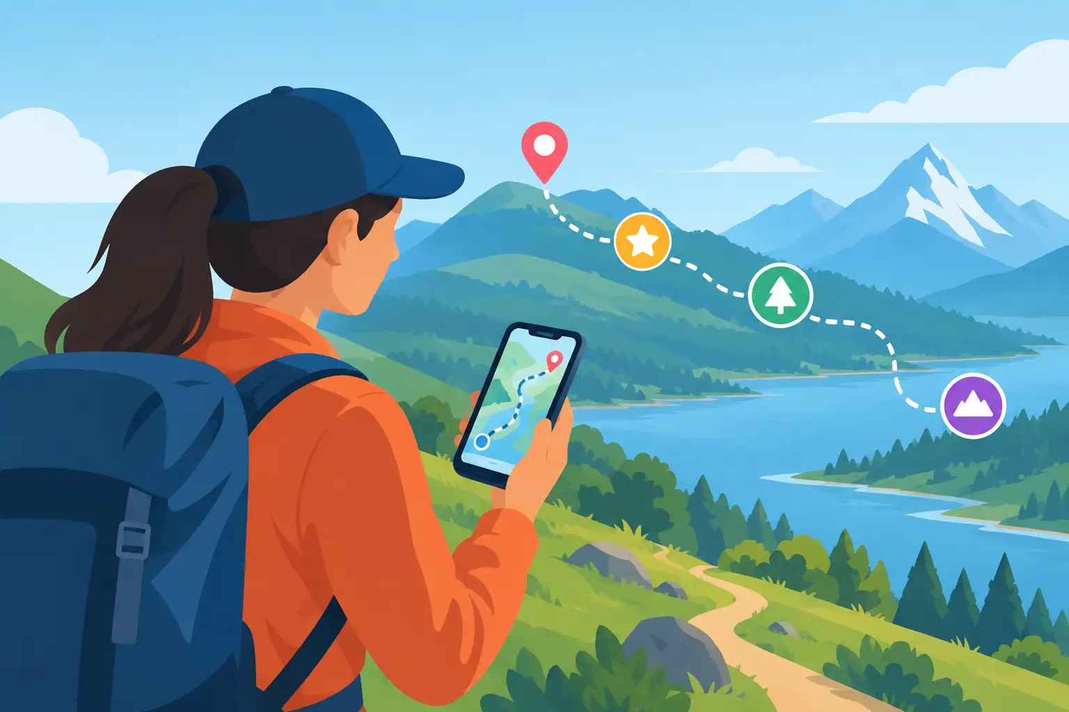
A pin on a map is not an adventure. A great GPS experience gives people a reason to move, look closer, make decisions, and feel that every street corner might reveal the next part of the story. That is the difference when learning how to plan GPS adventures: you are not simply connecting locations. You are designing momentum in the real world.
Whether you are building a self-guided city quest for visitors, an outdoor campaign for an event, or a paid experience around local history, your phone should become more than a navigation tool. It should become the game board, the storyteller, and the key to places people might otherwise walk past.
Start With One Mission, Not a List of Stops
The fastest way to flatten an adventure is to begin with a spreadsheet of landmarks. A cathedral, mural, market, viewpoint, and historic square may all be worth seeing, but they do not automatically create a journey.
Start with the player mission instead. What are people trying to uncover, collect, solve, protect, or escape? The mission can be light and playful, such as tracking down the city’s hidden symbols. It can also be rooted in place, such as reconstructing a lost neighborhood story through archival clues and local voices.
A strong mission makes route decisions easier. If a stop does not deepen the mystery, reveal a useful clue, create a surprise, or change the player’s understanding of the city, it may not belong in the experience.
For example, a waterfront GPS adventure could ask players to locate signals from a fictional navigator whose route vanished decades ago. The marina becomes more than scenery. A statue becomes a clue. A local food hall becomes a checkpoint where the next instruction is revealed. The city does the storytelling because the story was designed around it.
How to Plan GPS Adventures Around Real Movement
GPS adventures succeed when the route feels natural on foot. A clever clue cannot rescue a frustrating walk across unsafe crossings, closed gates, construction zones, or long stretches with nothing to discover.
Begin by walking the route yourself at the same time of day your audience is likely to play it. Notice noise, shade, traffic, crowds, restroom access, seating, lighting, and moments where a player might hesitate. GPS coordinates can tell you where a location is. They cannot tell you whether standing there feels exciting, exposed, confusing, or memorable.
Think in beats rather than distance alone. Most city-based experiences benefit from a rhythm like this: an easy first discovery, a short walk with anticipation, a meaningful challenge, a visual reward, then a moment to reset before the next chapter. The exact length depends on your audience. Families may want frequent wins. Dedicated puzzle fans may accept longer gaps between reveals. Visitors with only an afternoon need a compact route that feels complete without racing the clock.
Keep the physical demands honest. A two-mile route with steep hills, stairs, uneven pavement, or limited transit access needs clear expectations. Offering a shorter version or optional detours can make the experience more inclusive without reducing its sense of discovery.
Turn Places Into Playable Checkpoints
Every checkpoint should ask the player to do something. Reading a paragraph beside a monument is still passive sightseeing, even if it appears on a phone screen. The goal is active attention.
A location can become playable in several ways. Ask players to spot an architectural detail, compare two dates, find a word on a plaque, follow a sound, photograph a pattern, or choose the correct direction based on a story clue. The best interaction is usually connected to something that can only be noticed in that exact place.
Avoid challenges that depend on fragile details. Store hours change. Temporary posters disappear. Street art can be painted over. A clue based on permanent features such as a building facade, sculpture, street layout, public sign, or landscape feature will last longer and require less maintenance.
Also vary the type of participation. If every checkpoint is a multiple-choice question, the adventure starts to feel like a quiz. Mix observation, navigation, puzzle solving, photo tasks, timed decisions, virtual item collection, and short pieces of local storytelling. Variety keeps groups talking and solo explorers curious.
Build a Story That Respects the Place
A GPS adventure does not need a huge fictional universe. It needs a clear reason to continue. Often, the most powerful stories come from the tension already built into a place: old versus new, river versus city, industry versus art, memory versus redevelopment.
Use local research as fuel, not decoration. A date, anecdote, tradition, or overlooked person becomes more interesting when it changes what the player must do next. Instead of presenting a fact about a historic theater, ask players to use its past role to identify the next location. Instead of describing a neighborhood’s craft heritage, turn its visual language into a pattern-hunting challenge.
There is a trade-off here. A dense historical narrative can add depth, but too much text stops the walk. Keep mobile copy focused and let the surroundings carry part of the meaning. One sharp detail at the right place will stay with a player longer than five screens of background information.
For cultural organizations and destination teams, this is where interactive formats can extend the value of existing collections, public art, archives, or local expertise. The story does not have to live behind museum walls. It can unfold block by block.
Design GPS Triggers With Room for Reality
Location-based technology is powerful, but cities are imperfect environments. Tall buildings can affect GPS accuracy. A player may approach from a different street than expected. A crowded plaza can make it hard to stand precisely where you imagined.
Use generous trigger zones for open public areas. Requiring someone to stand on one exact corner can create needless frustration. If the challenge depends on a specific object, pair GPS arrival with a clear visual instruction so players know they are in the right place.
Plan for weak signal and low battery as well. Keep essential instructions concise, avoid unnecessary media loads, and tell players what they should bring before they begin. A phone, headphones if audio matters, a charged battery pack, weather-appropriate clothing, and comfortable shoes are practical details that protect the experience.
You should also create a recovery path. If a player cannot solve a clue or a GPS check-in fails, they need a hint, an alternate validation method, or a way to continue after a short delay. Difficulty should create tension, not abandonment.
Give the Adventure a Strong Finish
The ending is where a route becomes a memory. Do not let the final checkpoint simply display a generic completion message. Reward the time, movement, and attention players invested.
A satisfying finale can reveal the full story, show how collected virtual items fit together, lead to a panoramic viewpoint, or prompt players to share a photo-worthy discovery. If the experience has a commercial component, the ending can also direct people toward a nearby partner venue, an upgrade, or another route. It should feel like a natural next move, not an interruption.
For creator-led experiences, consider what players can carry away besides a digital badge. Maybe they now understand why a street has its unusual shape, recognize a local symbol, or know the story behind a building they would have ignored. That shift in perception is the real reward.
Test It Like a Player, Not Its Creator
Before launch, watch people who did not help build the adventure play it. Their pauses are data. If they walk in circles, misread an instruction, miss an obvious landmark, or lose interest after a long transition, the route is telling you what needs attention.
Test with different kinds of participants: a local, a first-time visitor, a solo player, and a small group. Each will reveal something different. Locals may spot assumptions in your language. Visitors may expose navigation gaps. Groups will show whether challenges generate conversation or leave one person doing all the work.
Then keep improving after launch. Cities change, and great GPS adventures are living products. Update closures, revise weak clues, replace fragile checkpoints, and pay attention to where players use hints or stop early. Platforms such as Leplace make it possible to package those evolving stories as interactive self-guided experiences without turning every update into a full technical rebuild.
The best GPS adventure leaves players looking at the city differently than they did an hour earlier. Plan for that moment: the turn where a familiar street becomes a secret, a landmark becomes a character, and the next blue dot feels like an invitation rather than a direction.
Enjoyed this post?
Comments
Be the first to comment.