
Sep 26, 20268 min read
How Do GPS Tours Work? Make Your City Playable
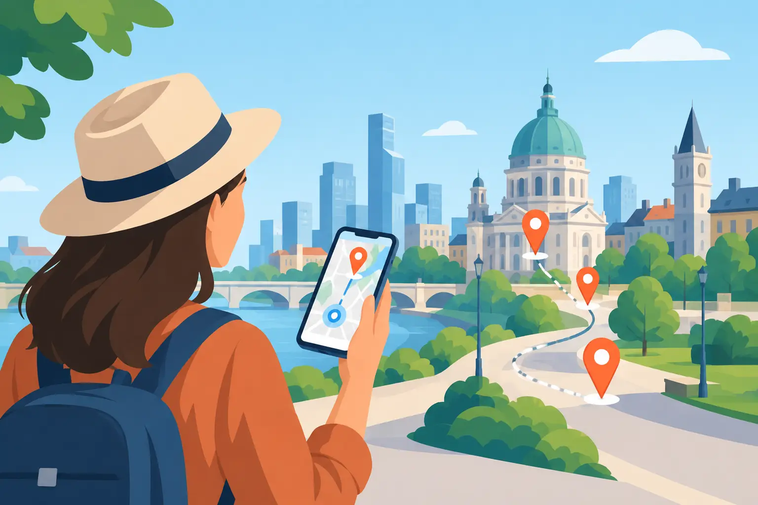
A GPS tour can turn the moment you step off the train into the first move of an adventure. Instead of following a guide’s umbrella or playing a long audio track on repeat, your phone recognizes where you are and reveals the next story, clue, challenge, or destination. So, how do GPS tours work? They combine your smartphone’s location services with a route, digital content, and rules that make real-world movement part of the experience.
For travelers, that means more freedom and more reasons to look up from the screen. For tour creators, destinations, and cultural organizations, it creates a way to package local knowledge as a living, interactive product that can run far beyond a fixed tour schedule.
How Do GPS Tours Work on Your Phone?
A GPS tour uses the same positioning technology that helps your maps app show your blue dot. Your phone receives signals from GPS satellites and usually combines them with Wi-Fi, cellular networks, and motion sensors to estimate your position. In a dense downtown area, that estimate may be less precise than it is in an open park. Good tour design accounts for that reality.
When you open a self-guided tour, the experience typically loads a map with points of interest, route guidance, and location-based triggers. As you walk toward a designated spot, the app checks whether your device has entered a defined area around it. That area is often called a geofence.
Enter the geofence, and something happens. A historic photo may appear over the street in front of you. An audio story can begin. You might receive a riddle, collect a virtual artifact, answer a question, or get instructions that send you down a side street you would have otherwise missed.
The important distinction is that GPS does not just tell you where to go. In a well-built experience, it decides when the city is ready to reveal its next layer.
The Four Parts Behind a GPS Tour
GPS tours feel simple because the complicated work happens in the background. Most experiences are built around four connected elements: positioning, places, content, and progression.
Positioning tells the app where you are
Your location is the trigger. The tour app compares your live position with the coordinates assigned to each stop. Accuracy can vary by neighborhood, weather, device, and signal conditions. That is why experienced creators avoid making a trigger point too tiny or placing it in an inaccessible location, such as the center of a busy intersection.
A smart setup uses forgiving activation zones and gives travelers a manual option when needed. GPS should support the experience, not create a frustrating game of standing on one exact paving stone.
Places give the route its shape
A GPS tour can follow a clear route from stop to stop, or it can give players more freedom. A linear route works well for a first-time visitor who wants a polished introduction to a city center. An open exploration format can let friends choose which challenges to tackle first, making the city feel more like a game board.
The right structure depends on the goal. A route built around architecture may need a logical walking sequence. A treasure hunt can benefit from detours, optional missions, and a final destination that only becomes available after several discoveries.
Content creates the reason to stop
Coordinates alone do not make an experience memorable. The content at each location does. It can be a short local story, a puzzle connected to a building detail, a recreated scene from the past, a photo challenge, a soundscape, or an augmented visual that changes how a familiar square looks.
The strongest GPS tours use the physical setting as part of the storytelling. If the clue could be solved from a couch, it is not making full use of the city. The best moments require people to notice a sign, a sculpture, a view, a pattern in the pavement, or the surprising relationship between two nearby places.
Progression gives movement a payoff
Progression is what changes a walking route into a real-life exploration game. Travelers may earn points, unlock chapters, collect virtual items, reveal a final message, or compete with their group. These mechanics add momentum without needing to turn every city walk into a high-pressure contest.
A couple on a weekend break may enjoy collecting hidden city icons at their own pace. A corporate group may want a leaderboard and timed team challenges. A museum or destination campaign may use rewards to guide visitors toward overlooked neighborhoods or partner venues. The same GPS foundation can support very different experiences.
What Happens During a Self-Guided GPS Tour?
From the traveler’s side, the flow is direct. You choose an experience, open it on your phone, allow location access, and begin at the starting point. The app shows where to head next or presents the first challenge. As you move, the tour responds to your location.
Some tours are designed to be completed in order. Others use a map where nearby missions become active as you approach them. Many include a mix of navigation and discovery, so you are never simply staring at a pin and marching toward it.
A good experience also gives you control. You can pause for coffee, spend longer in a gallery, skip an optional task, or continue later if the format allows it. That autonomy is a major advantage over a scheduled group tour. You set the pace, while the tour still provides structure and a reason to keep exploring.
There are trade-offs. A live guide can answer spontaneous questions, adjust the story to the group, and react to a sudden street closure. A GPS tour cannot fully replace that human improvisation. What it can do is make an engaging, story-rich experience available whenever travelers are ready, including early mornings, quiet weekdays, and last-minute city breaks.
Why GPS Tours Feel More Immersive Than Standard Maps
A standard map is built to get you from A to B efficiently. A GPS tour is built to make the space between A and B matter.
That difference changes behavior. Rather than rushing past an alley because it is not on the fastest route, you may enter it to solve a clue. Rather than reading a plaque and moving on, you may compare an old image with the building in front of you. The city becomes an active environment, not a backdrop for a checklist.
This is especially valuable in places where stories are spread across streets, waterfronts, public art, historic districts, campuses, and natural trails. GPS can connect those scattered points into a narrative that unfolds through movement. It also gives creators room to build experiences around themes that traditional tours often miss, from street art and food culture to film locations, hidden history, and seasonal events.
Platforms such as Leplace use this model to help turn local stories into interactive mobile experiences, combining self-guided routes with challenges, gameplay, and place-based discovery.
What GPS Tour Creators Need to Get Right
The technology is accessible, but the experience still needs thoughtful design. A great GPS tour begins with a clear promise: what will the traveler feel, learn, solve, or see differently by the end?
Route planning matters first. Stops should be safe, walkable, and close enough to maintain energy without becoming repetitive. Creators should test the route at different times of day, checking construction, crowds, access hours, signal quality, and whether the clue still works when a market stall or parked vehicle blocks the view.
Content should be concise on the move. A traveler standing outdoors may not want to read six dense paragraphs. Short stories, strong visuals, meaningful audio, and challenges tied to what is visible tend to perform better. Depth still has a place, but it should be optional for people who want it.
Creators also need to consider accessibility. Offer alternatives for stairs, avoid relying only on tiny visual details, write clear directions, and make instructions useful for visitors who do not know the area. If the tour requires mobile data, say so. If it can work with downloaded content, that is a major benefit for international travelers managing roaming costs.
Do You Need Internet for a GPS Tour?
It depends on the platform and the experience design. GPS itself can often determine location without an active data connection after the phone has acquired a signal, but maps, media, live updates, and newly loaded content may require internet access.
Before starting, travelers should charge their phone, enable location services, bring headphones if audio is part of the experience, and check whether the tour can be downloaded in advance. A portable battery is useful for longer sessions, especially when the tour uses camera features, AR elements, or constant map access.
For creators, offline readiness can expand the audience. Visitors arriving from abroad may hesitate to use data-heavy apps. Designing lightweight content and clearly explaining connectivity requirements removes that uncertainty.
The City Is the Interface
The real magic of a GPS tour is not the blue dot on a screen. It is the moment the screen sends you toward something you would have walked past, then gives that place a purpose. Start with a charged phone and a little curiosity, but leave room for the unscripted discoveries that happen between every checkpoint.
Enjoyed this post?
Comments
Be the first to comment.