
Oct 14, 20267 min read
Geospatial Storytelling That Gets People Moving
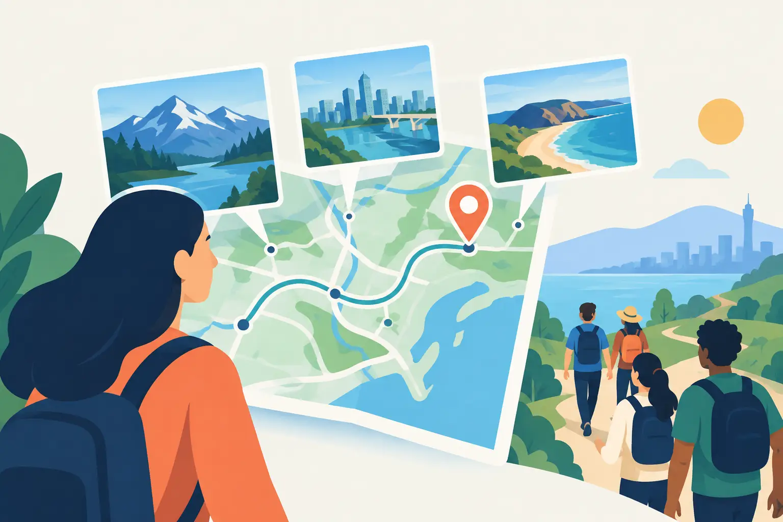
A painted doorway, a hidden courtyard, the last location of a lost jazz club - these are not just pins on a map. With geospatial storytelling, each one can become a reason to stop, look up, make a choice, and continue deeper into a city. The map is no longer background information. It becomes the game board.
For travelers, this changes a walk from a route to follow into a real-life exploration game. For guides, destination brands, museums, and event teams, it creates a more compelling way to package local knowledge for a mobile-first audience. The opportunity is not simply to put stories on a screen. It is to connect story, movement, and place so closely that the experience only works when someone is actually there.
What Geospatial Storytelling Really Means
Geospatial storytelling uses location as part of the narrative. A story unfolds because a person reaches a specific street, landmark, park, waterfront, or neighborhood. GPS, maps, media, challenges, and real-world clues can all help shape that experience.
A standard digital guide might tell visitors that a historic market was established in 1880. A geospatial experience can ask them to find the oldest sign above the stalls, reveal an archival photo when they arrive, and send them to the alley where the market’s original entrance once stood. The facts may be similar. The feeling is completely different.
Place is not just the setting. It is the trigger, the evidence, and sometimes the main character.
This matters because cities are full of stories that are difficult to notice at walking speed. Architecture, food, migration, music, public art, local myths, and everyday rituals rarely announce themselves. A thoughtfully designed mobile experience gives travelers a reason to slow down and a lens through which to see what is already around them.
Why Static Tours Are Losing Attention
Travelers already carry an endless supply of information in their pockets. They can search a landmark, watch a video, scroll reviews, and find ten suggested itineraries before lunch. More information is not the differentiator.
Participation is.
Self-guided tours have a clear advantage: visitors can explore on their own schedule. But a route with long blocks of text and a few audio clips can still feel passive. People skip stops, glance at their phones, and move on. The city becomes a backdrop for content rather than an experience they are actively shaping.
Geospatial storytelling adds momentum. It gives the explorer an objective, a decision, a discovery, or a small win at each stage. A hidden-object prompt can make people inspect a facade. A timed challenge can add energy to an event activation. A branching route can let couples, solo travelers, and families follow different interests through the same district.
That does not mean every tour needs points, badges, and countdown clocks. Game mechanics work when they serve the story. A memorial walk may need reflection rather than competition. A food route may benefit from collectible recommendations, while a ghost tour can use suspense and location-triggered reveals. The format should match the emotional rhythm of the place.
The Building Blocks of a Great Location-Based Story
The strongest experiences balance clear navigation with the thrill of discovery. If visitors are confused about where to go, the magic disappears. If every answer is handed to them instantly, there is no reason to explore.
Start with one powerful story question
A memorable route needs more than a theme such as “historic downtown.” Give the experience a question that pulls people forward. Who left clues across the old harbor? How did one block become the center of a music movement? Which everyday details reveal the city’s immigrant history?
A question creates narrative tension. Each stop should either answer it, complicate it, or open a new path. This is what keeps a walking tour from becoming a sequence of unrelated facts.
Make every stop earn its location
A story stop should happen where it has the most impact. A historic photo works best when travelers can compare it with the live street scene. A local voice recording becomes more powerful outside the building it describes. A puzzle should use a visible object, not a clue someone could solve from their couch.
This is also where creators need restraint. Not every interesting fact deserves a location pin. Choose places with visual energy, emotional relevance, or a strong physical connection to the narrative. A route with eight excellent moments will outperform one with twenty forgettable ones.
Give people something to do
Interaction can be simple: spot a symbol, answer a question, choose between two paths, collect a virtual item, or photograph a detail. The best prompts encourage travelers to engage with the real world before returning to the screen.
For example, instead of saying, “This square is known for its murals,” ask visitors to find the mural with the blue bird and uncover the artist’s story. Instead of listing restaurant recommendations, let them vote on the flavor they want to chase next and guide them toward a nearby local favorite.
Action creates memory. It also gives people a natural reason to share the experience with friends, whether they are traveling together or comparing discoveries afterward.
Design for Real Streets, Not Perfect Screens
A beautiful concept can fail in the field. Cities are noisy, crowded, under construction, and occasionally rainy. GPS can drift between tall buildings. Businesses close. A viewpoint may be blocked by a festival stage. Great geospatial storytelling plans for the city as it is, not as it looked during a sunny site visit.
Keep walking instructions direct and test them from a traveler’s perspective. Check the route at different times of day. Avoid forcing people across unsafe intersections or through spaces that may be inaccessible after hours. Offer alternate clues when a visual feature is seasonal or fragile.
Pacing matters, too. A dense cultural district can support frequent discoveries. A long waterfront walk may need fewer but richer moments, with a worthwhile view or an optional detour between them. The right route length depends on audience and context. A 45-minute experience may be perfect for an event crowd, while a two-hour neighborhood adventure can suit visitors looking for a deeper afternoon.
Accessibility should be built into the experience from the first route sketch. Consider step-free options, readable on-screen text, audio support, rest points, and whether a clue depends on color, height, or fine visual detail. Inclusive design does not reduce the sense of adventure. It expands who gets to join it.
From Local Knowledge to a Scalable Experience
Local guides and cultural organizations hold extraordinary story material, but turning it into a digital product can feel intimidating. The key is to think like an experience designer, not just a content publisher.
Begin with a route people can realistically complete. Identify the emotional high point: the surprising reveal, the panoramic view, the final puzzle, or the conversation with a neighborhood’s past. Then build backward. Every earlier stop should prepare the explorer for that payoff.
Next, decide what belongs in the visitor’s hands. Short text can set a scene. Audio can carry emotion and local voice. Images can reveal change over time. Challenges can create participation. These elements are strongest when they have distinct jobs rather than repeating the same information in different formats.
Platforms such as Leplace make this model practical for creators who want to publish interactive self-guided tours without building their own technology stack. A guide can turn local expertise into a GPS-enabled experience, while a destination partner can create a route that stays available beyond a single staffed tour or event day.
Commercially, the format offers flexibility. Some experiences work as paid city adventures. Others can support a museum exhibition, a brand activation, a festival program, or a hotel guest offering. The right model depends on perceived value, audience size, and how exclusive the content is. A free teaser route can create demand for a longer premium quest, but only if both experiences feel complete on their own terms.
Measure More Than Completions
A completed route is useful data, but it is not the whole story. Look at where people pause, which challenges they skip, which optional detours they choose, and where they leave the experience. These signals reveal whether a route is too long, too difficult, or simply missing a reason to continue.
Feedback should also ask about feeling, not just function. Did visitors feel surprised? Did they notice something they would have walked past? Would they recommend the experience to someone with different interests? Those answers show whether the story created a genuine connection with place.
The best city experiences do not try to replace wandering. They give wandering more purpose. Build a route that invites people to follow the clues, then leave enough space for an unexpected café, a street performer, a conversation, or a turn down the wrong alley. That is where a digital story becomes a personal one.
Enjoyed this post?
Comments
Be the first to comment.